


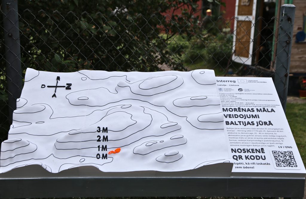
Within the framework of the Interreg VI-A Latvia–Lithuania Programme project No. LL-00244 “Geosites”, Kurzeme Planning Region has installed a new information stand near Akmeņrags Lighthouse in South Kurzeme Municipality, offering visitors an opportunity to explore the Baltic Sea underwater landscape both visually and through touch.
The tactile stand has been designed as a 3D model of the Baltic Sea underwater landscape. It represents the underwater relief of the Baltic Sea opposite Pāvilosta, approximately 36 kilometres from the coast. At a depth of 20–40 metres, the seabed is characterised by relief forms deposited by glaciers and later reshaped by sea currents – moraine ridges reaching up to 4 metres in height. These moraine elevations form the EU-protected habitat “Reefs”, one of the most important protected habitat types in the Baltic Sea.
“The relief of the Baltic Sea seabed was largely shaped by glacial processes. The glacier transported clay, sand and stones, and as it retreated, this material was deposited, forming moraine – a mixture of sediments and stones of various sizes. Sea currents subsequently reshaped these deposits, eroding depressions and creating a diverse underwater landscape. This landscape is normally hidden beneath the water and is not easily accessible to most people, so it is a genuine pleasure that a new opportunity has now been created on the Kurzeme coast for everyone to discover it more closely,” explains Dr geol. Sandijs Mešķis, expert of the Geosites project.
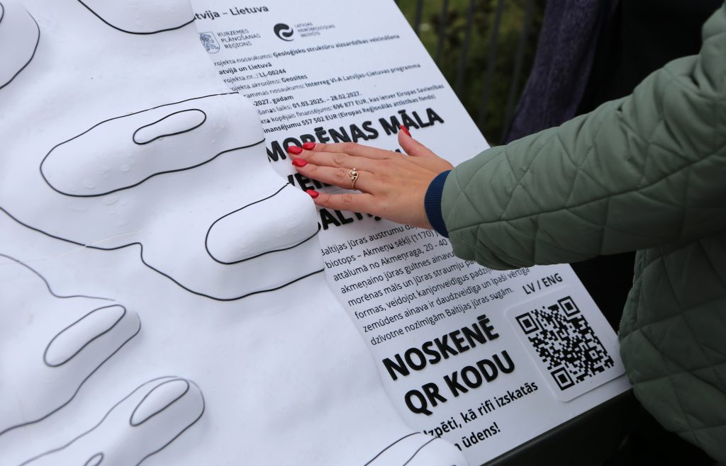
The stand was produced using 3D printing technology, and its three-dimensional surface allows visitors both to view and to explore the underwater relief of the Baltic Sea through touch. The stand measures 120 × 60 centimetres, while its inclined surface has been designed to ensure that it is also easily accessible to wheelchair users. This makes the stand accessible to a wider range of visitors, including people with visual or mobility impairments.
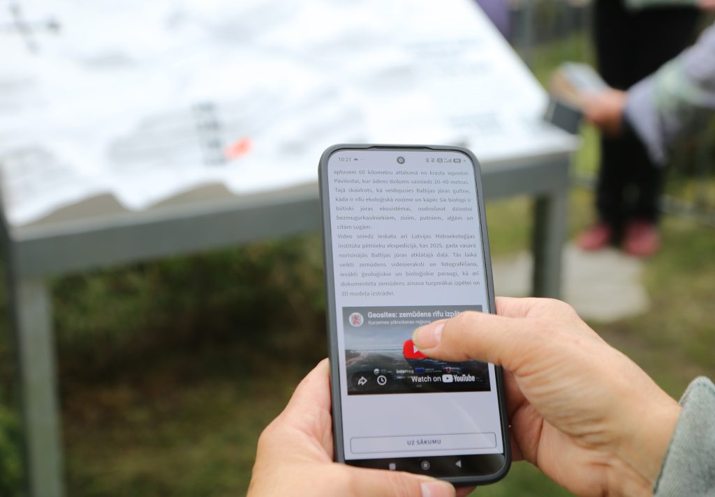
The stand also features a QR code providing access to an educational video produced within the Geosites project in Latvian and English. The video introduces the reefs of the Baltic Sea, their ecological importance and the work carried out by researchers in the study area, including underwater filming and photography, as well as the collection of geological and biological samples.
“When studying this underwater area and seeing the reef landscape first-hand – the impressive moraine ridges and the channels they have formed – one can truly appreciate just how diverse and fascinating the Baltic Sea is. Reefs provide important habitats for many species of invertebrates and fish and are an essential part of the marine ecosystem. The better we understand this environment, the more clearly we recognise its natural value and the importance of its conservation,” says Ieva Bārda, researcher at the Latvian Institute of Aquatic Ecology.
The video about underwater reefs on the West Kurzeme Coast is also available on the Kurzeme Planning Region website: kurzemesregions.lv/geosites-video
The stand has been developed within the project “Promoting the protection of geological structures in Latvia and Lithuania” (project acronym: “Geosites”, project No. LL-00244), co-funded by the European Union Interreg VI-A Latvia–Lithuania Programme 2021–2027.
More about the programme: www.latlit.eu.
Information prepared by:
Anna Elizabete Upsava
Phone: +371 26369876
E-mail: anna.upsava@kurzemesregions.lv