Listen to the audio of the trail:
Watch the video of the trail:
Description:
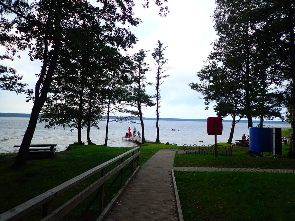
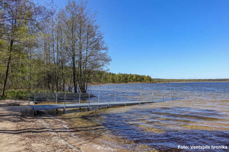
Lake Būšnieki is a wonderful destination for all lovers of active leisure. Its outstanding natural beauty is accessible not only to those who enjoy swimming and boating, but also to cyclists, runners, hikers, and ornithologists. Everyone can enjoy the 9 km-long nature trail that encircles the entire lake. The lake and trail are also fully accessible to wheelchair users.
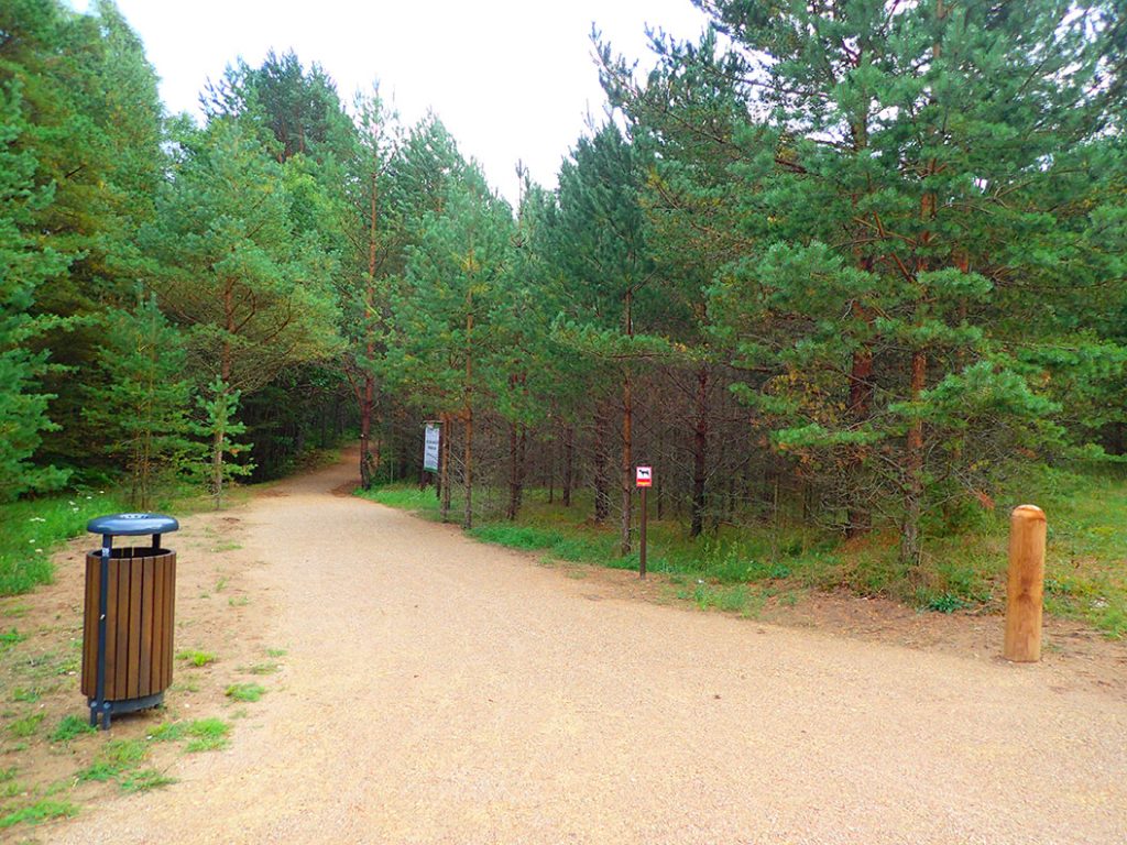
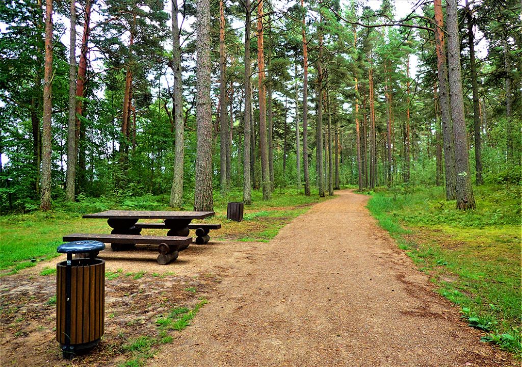
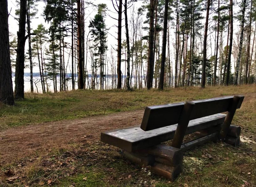
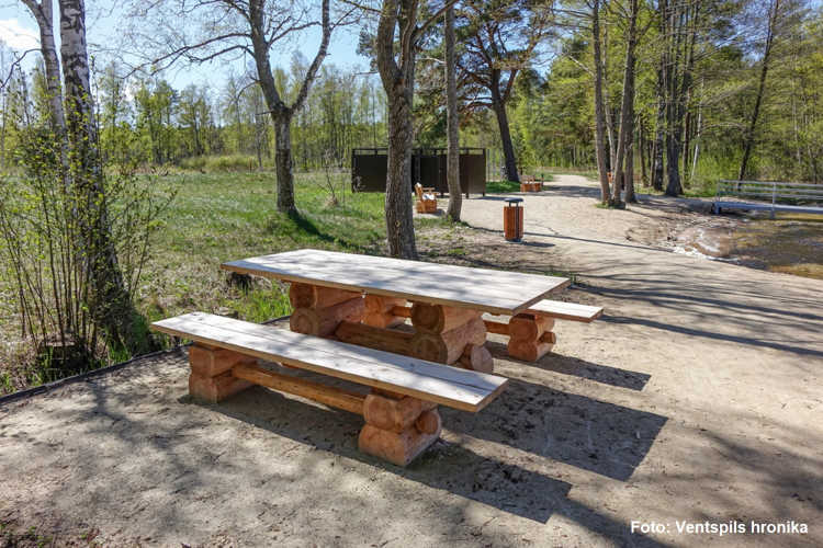
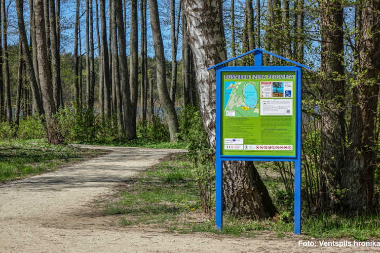
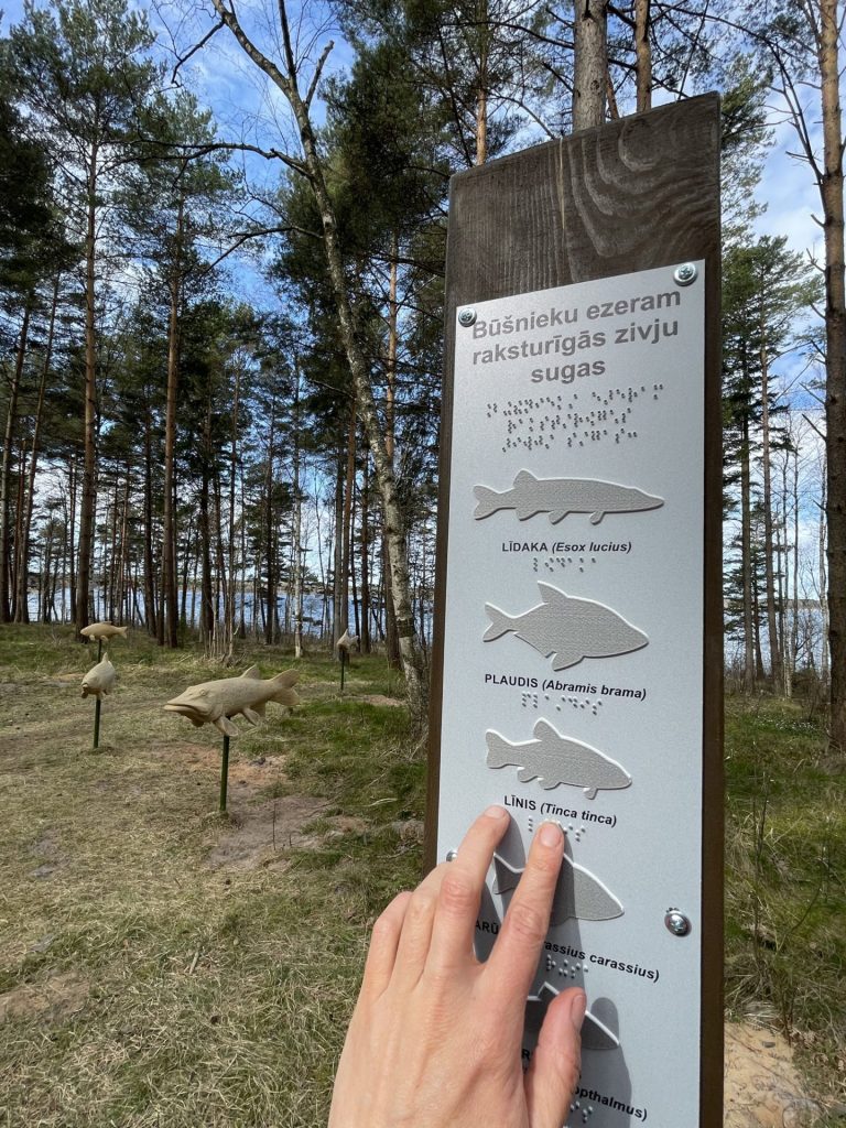
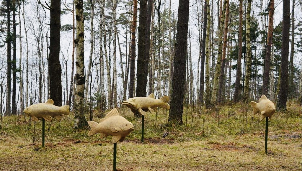
The hike can begin either at the Boating Place or the Deer Garden (Briežu dārzs) car park. Along the trail, visitors will find well-equipped swimming and picnic areas, ensembles of tactile fish and bird figures representing the local wildlife, informative stands, and directional signs. A disability-friendly swimming site is available near the Deer Garden, complete with a resting area and changing cabins. A floating wheelchair is available free of charge at the Deer Garden reception (tel. +371 26099432).
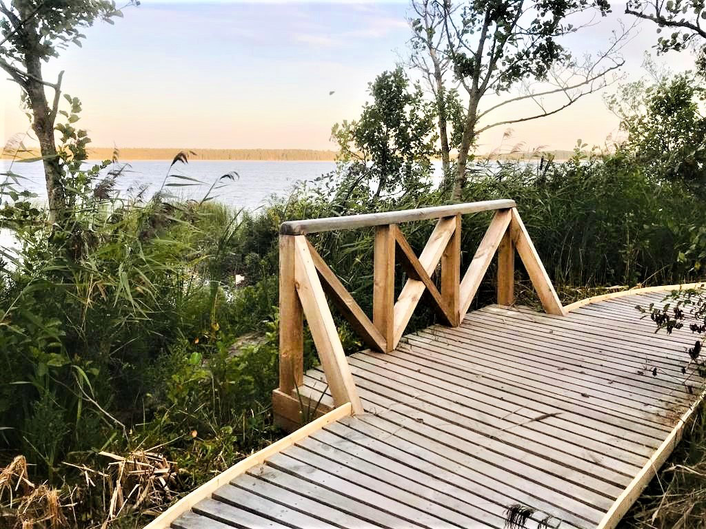
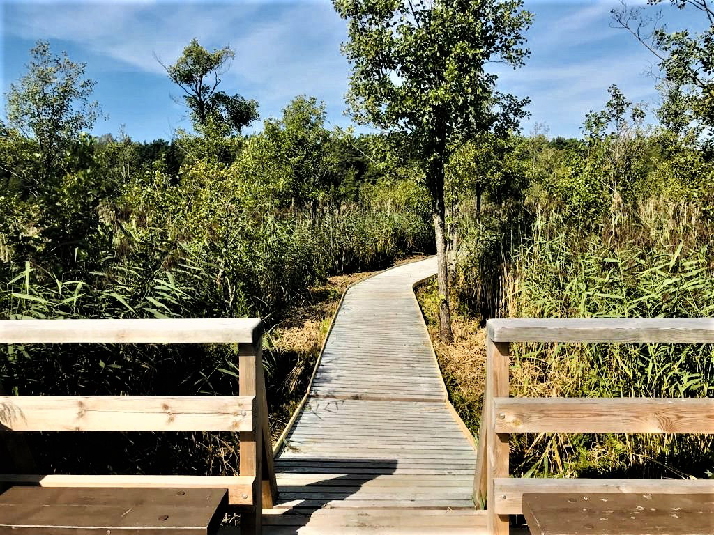
The marshy shoreline features a nearly 200-metre-long wooden boardwalk with a birdwatching platform – ideal for wheelchair users accompanied by an assistant.
In 2024, the trail was enhanced with a tactile ensemble showcasing eight bird species commonly found around Lake Būšnieki. Visitors can explore the bird figures through touch and listen to their calls by scanning a QR code. The installation is located near the trail, opposite the Deer Garden, close to the newly built beach area – offering an interactive and inclusive nature experience.
The shores of Lake Būšnieki are designated as a nature reserve, established in 2004 to protect biotopes of European significance. Covering 49 hectares, the area is part of the European Natura 2000 network of protected areas.
Download the GPX of the trail
In order to open the GPX file with the trail route on a mobile phone or computer, please install one of the hiking apps or maps, e.g., Wikiloc, Outdooractive, ViewRanger, OS Maps or any other GPX file reading programme or application.
Location: Nature Reserve: The Coast of Lake Būšnieki, Ventspils
Suggested starting point: Lake Būšnieki Boat Base (70 Staldzenes Street)
Starting point of the trail in the map: Lat:57.45294, Lon:21.62905
Accessibility: 
![]()
![]()


![]()


![]()
Hiking time: 3h
Distance: 9 km
Marking: Marked with special signs – small wooden boards indicating the distance accomplished after each km
Type: Loop
Difficulty: ![]()
Trail surface: gravel, wooden boardwalk, asphalt
Facilities: ![]()
![]()
![]()


![]()
![]()
![]()


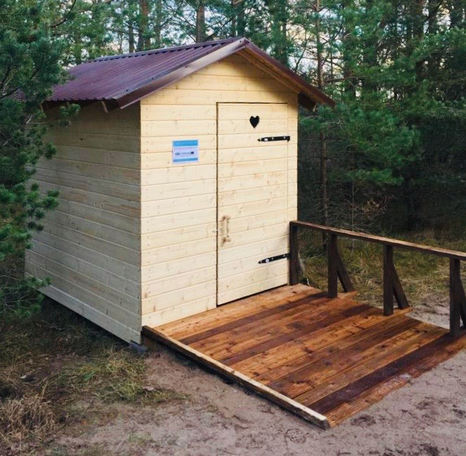
![]() (Dry accessible toilet available at the Boating place and at the Deers’ garden (Briežu dārzs) parking place.)
(Dry accessible toilet available at the Boating place and at the Deers’ garden (Briežu dārzs) parking place.)
Viewing platform
Getting there: by car, by bus
Rules to follow: ![]()
![]()

![]()

 (Dogs forbidden at the swimming area of the beach (except assistance dogs))
Trail administrator: Municipal Authority – Communal Administration, +371 29478091, kom.parvalde@ventspils.lv
Info: Ventspils Tourism Information Centre, 6 Dārzu Street (Ventspils Ferry Passenger Terminal, 1st Floor), +371 29232226, tourism@ventspils.lv, www.visitventspils.com/en/start/
Closest shops and gas stations: Ventspils