

On 17 September 2026, representatives of municipalities, non-governmental organisations and other institutions, as well as nature guides, gathered at Kapelleru nams in Saldus for a seminar held within the Interreg VI-A Latvia–Lithuania Programme 2021–2027 project No. LL-00244 “Geosites”. Participants were introduced to the database and interactive map developed within the project, their content and practical applications.
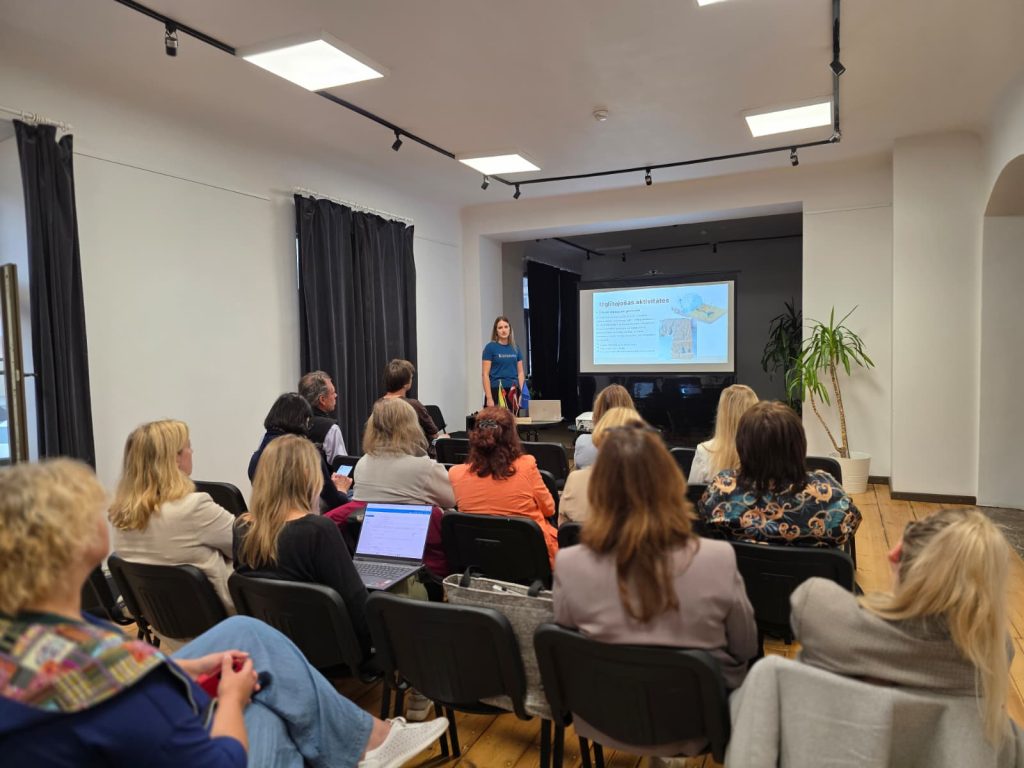
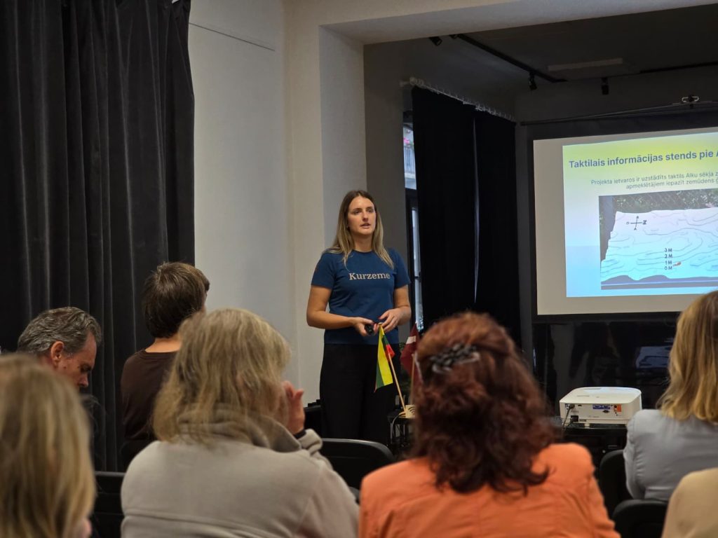
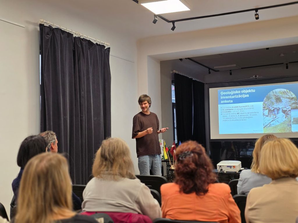
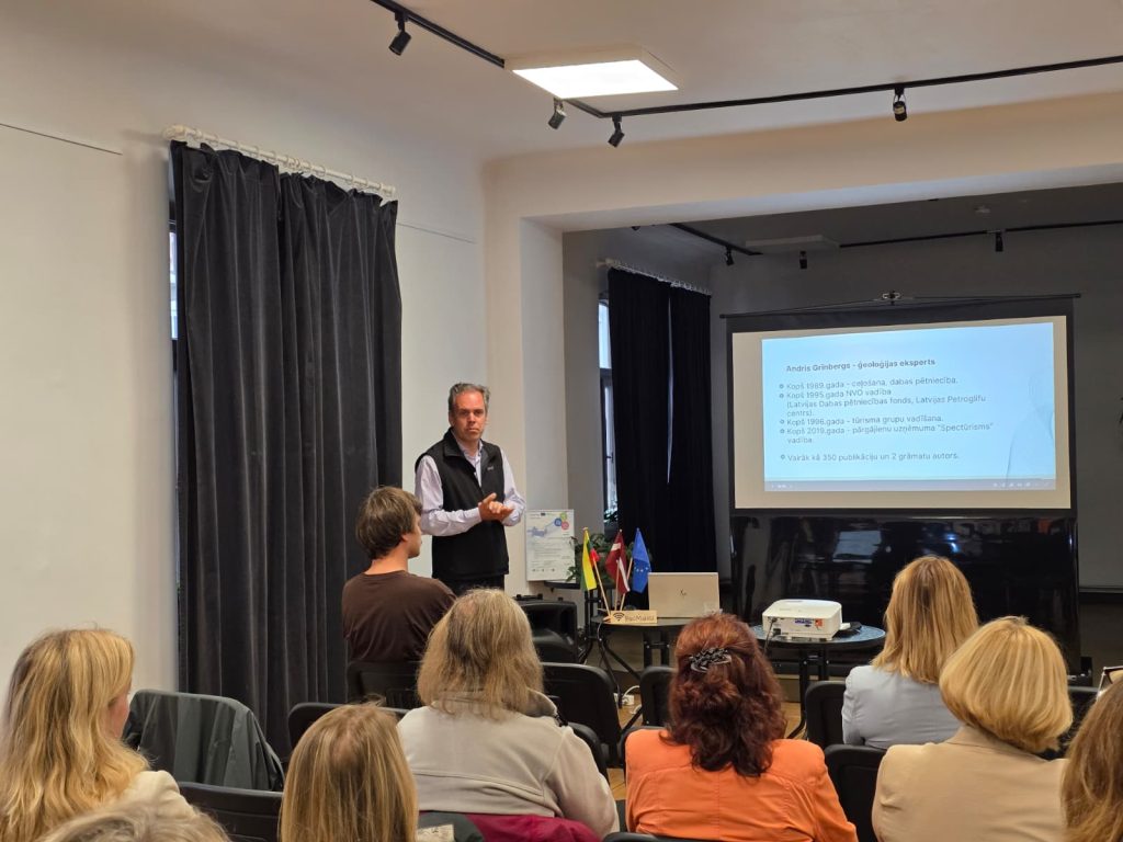
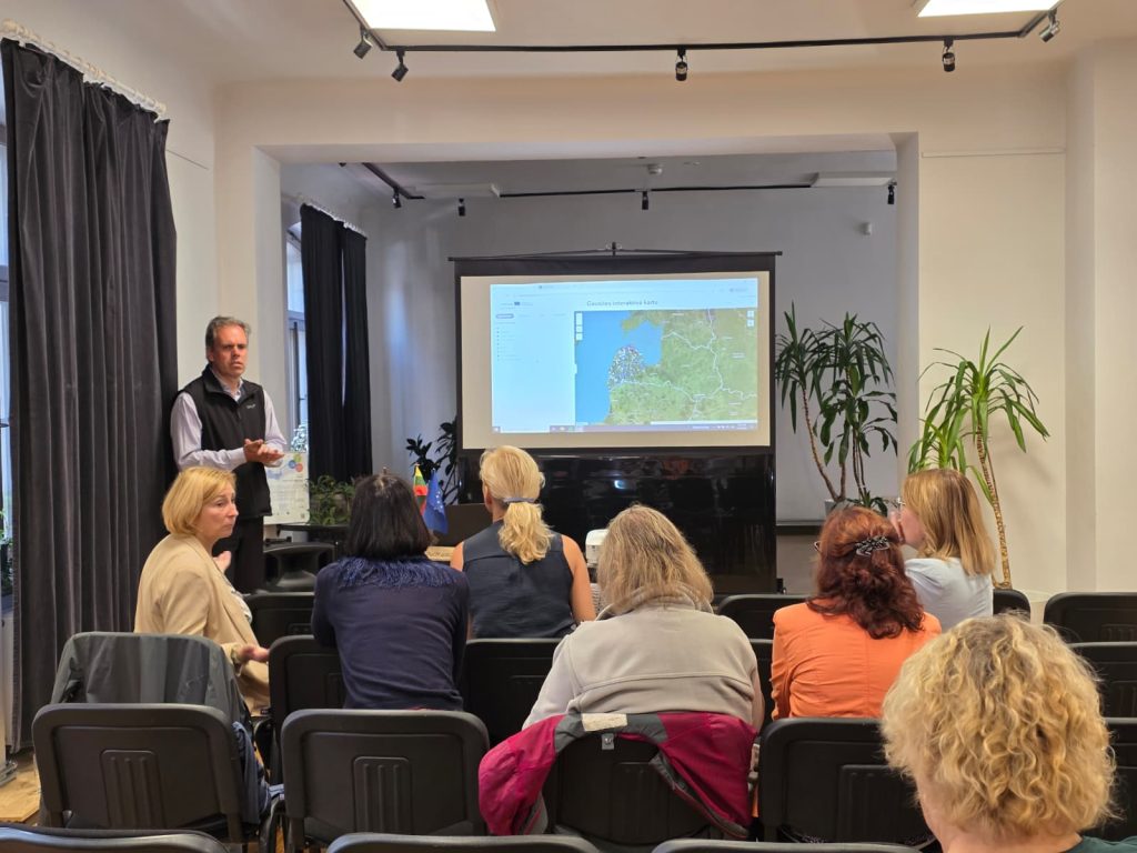
The seminar was opened by Anna Elizabete Upsava, Geosites Project Manager at Kurzeme Planning Region, who introduced the project’s objectives, key activities and progress to date. Jānis Puga, GIS Specialist and Cartographer at Kurzeme Planning Region, then presented the Geosites database and interactive map developed within the project, demonstrating the information they contain and how they can be used in practice.
Nature researcher and historian Andris Grīnbergs introduced participants to the process of identifying and surveying geological sites, collecting and organising data, and adding it to the Geosites database. He also presented several newly discovered geological sites that have already been included in the database, illustrating his talk with an extensive collection of photographs and engaging examples from fieldwork – including what a cup-marked stone is, when a natural feature can be classified as a waterfall, and when a rock niche can be considered a cave. These examples encouraged participants to look at familiar natural features from a different perspective and showed how many fascinating details can be discovered when you know what to look for.
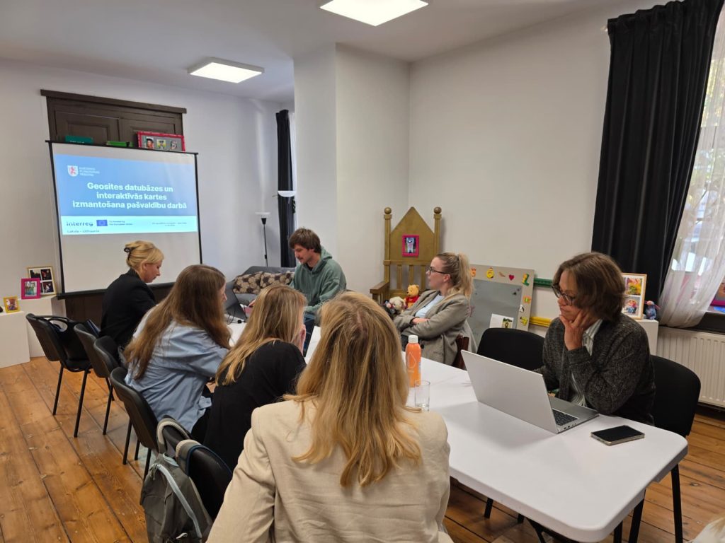
Following the joint session, participants continued their work in two thematic working groups. Municipal representatives worked with Jānis Puga to explore the practical use of the database in spatial planning and other municipal processes, including hands-on work in the ArcGIS environment. Participants raised specific questions, worked together to find answers and discussed how the database could be used in their day-to-day work. They also identified further improvements that could make the map even more convenient and useful for its users.
In the second thematic working group, nature guides, led by Andris Grīnbergs, focused on how the information available in the Geosites database could be used in guided tours, routes and other educational activities. Andris Grīnbergs shared his experience in nature tourism, introduced participants to interesting geological sites across Kurzeme and discussed how to present them in an engaging way to different visitor groups. The guides also shared their own experiences and discussed what works best when engaging visitors and what approaches could be useful in their future work.
The seminar provided an opportunity not only to explore the Geosites database in practice, but also to test it together with its potential users. The feedback received will help guide the final improvements before the database and interactive map are made publicly available, ensuring that they are as clear, user-friendly and useful as possible for different user groups. Once finalised, they will be publicly available on the Kurzeme Planning Region website.
The seminar was organised within the project “Promoting the protection of geological structures in Latvia and Lithuania” (Geosites, No. LL-00244), co-funded by the European Union Interreg VI-A Latvia–Lithuania Programme 2021–2027.
About the Geosites project
The project “Geosites – Promoting the protection of geological structures in Latvia and Lithuania” (project No. LL-00244) is implemented within the Interreg VI-A Latvia–Lithuania Programme 2021–2027. The project is implemented by the Latvian Institute of Aquatic Ecology as Lead Partner, the Žemaitija National Park Directorate and Kurzeme Planning Region.
The project aims to improve the protection and preservation of geological heritage through underwater research, the inventory and categorisation of terrestrial geological sites, and the development of improved management and educational approaches. Within the project, underwater geological formations in the Baltic Sea and Lake Plateliai are being studied and mapped, while information on geological sites in Kurzeme and Žemaitija is also being compiled.
More about the programme: www.latlit.eu.
Information prepared by:
Anna Elizabete Upsava
Phone: +371 26369876
E-mail: anna.upsava@kurzemesregions.lv