Watch the video of the trail:
Description:
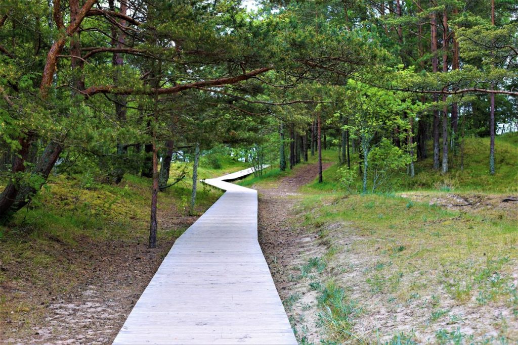
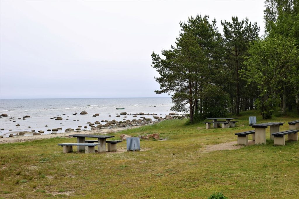
The path allows to enjoy a comfortable and pleasant walk through the pine forest to a small viewing platform at the beach.
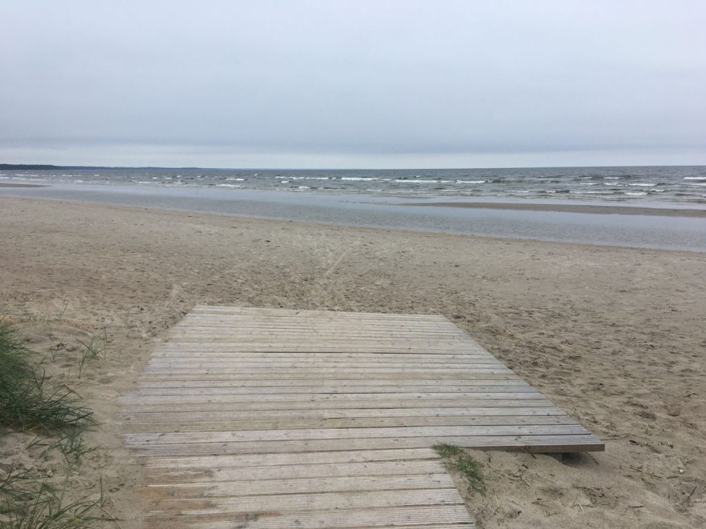
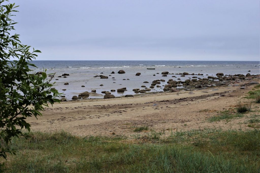
The rocky coast here lies friendly together with the light, sandy beach. The ones looking over from the parking lot see only the rocky coast and might think – ehh, no swimming here… But as soon as you walk down the path and get to the beach, it becomes clear – no, you, can! The beach sand area is not accessible, so it will not be possible to reach the water in a wheelchair.
Download the GPX of the trail
In order to open the GPX file with the trail route on a mobile phone or computer, please install one of the hiking apps or maps, e.g., Wikiloc, Outdooractive, ViewRanger, OS Maps or any other GPX file reading programme or application.
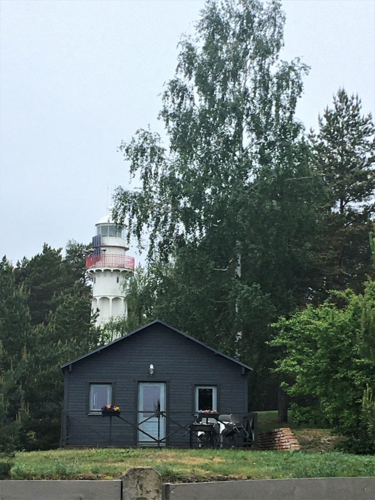
Location: Parking lot at Mērsags lighthouse, Mērsrags
Starting point of the trail in the map: Lat:57.36540, Lon:23.12200
Accessibility: 
![]()

![]()
Hiking time: 10 min (one direction)
Distance: 0,4 km (one direction)
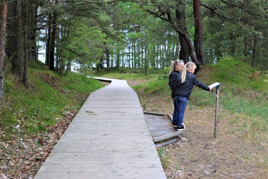
Marking: Direction sign in the beginning of the trail to the Devil’s stone (Velna akmens) and info stand of Baltic Coastal Hiking Route
Type: Out&back
Difficulty: ![]()
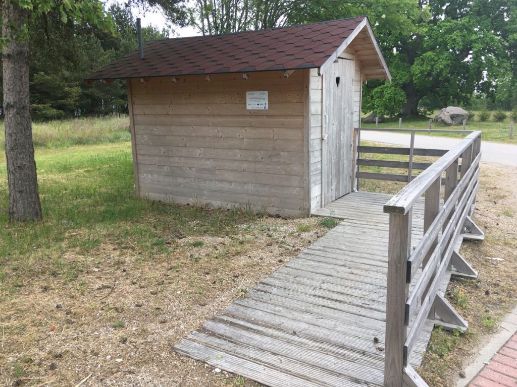
Trail surface: Wooden boardwalk (without protective border), 1,5 m wide, with one small exchange area (49cm) in the beginning of the path and a viewing platform in the end Brick paving and gravel at the start of the path.
Facilities: 
![]()
![]()
![]()
![]()
Getting there: with a car, with a bus
Rules to follow: 

Trail administrator: Lauciene Association Administration of Talsi Municipality (Lauciene, Mērsrags, Balgale, and Ķūļciems parishes), Phone: +371 25782532, Email: lauciene.parvalde@talsi.lv
Info: Mērsrags Tourism Information Centre, Zvejnieku Street 2, Mērsrags, Mērsrags Parish, Talsi County, Phone: +371 28757923, E-mail: tic.mersrags@talsi.lv, visittalsi.com
Closest shops and gas stations: Mērsrags