Watch the video of the trail:
Description:
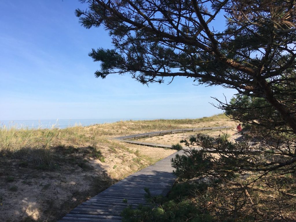
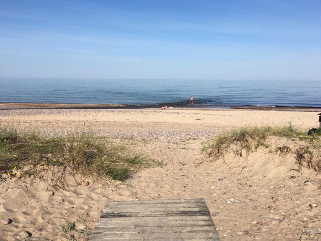
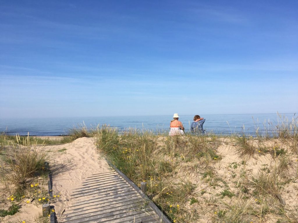
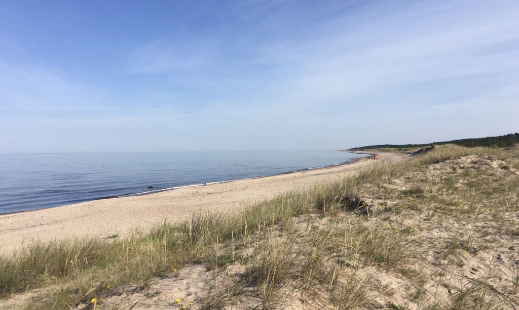
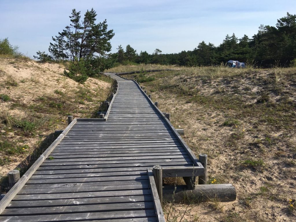
Užava is one of the oldest settlement locations on the Baltic Sea coast. The boardwalk starts at the Užava River mouth, where the river flows into the sea and allows to see the unique values of the Nature Reserve – the gray dunes and rare species of plants, moss, lichens, birds. There is a parking lot with a nice resting, picnic and tenting area nearby, though not adapted to people in wheelchairs. The beach sand area is not accessible, so it will not be possible to reach the water in a wheelchair.
Download the GPX of the trail
In order to open the GPX file with the trail route on a mobile phone or computer, please install one of the hiking apps or maps, e.g., Wikiloc, Outdooractive, ViewRanger, OS Maps or any other GPX file reading programme or application.
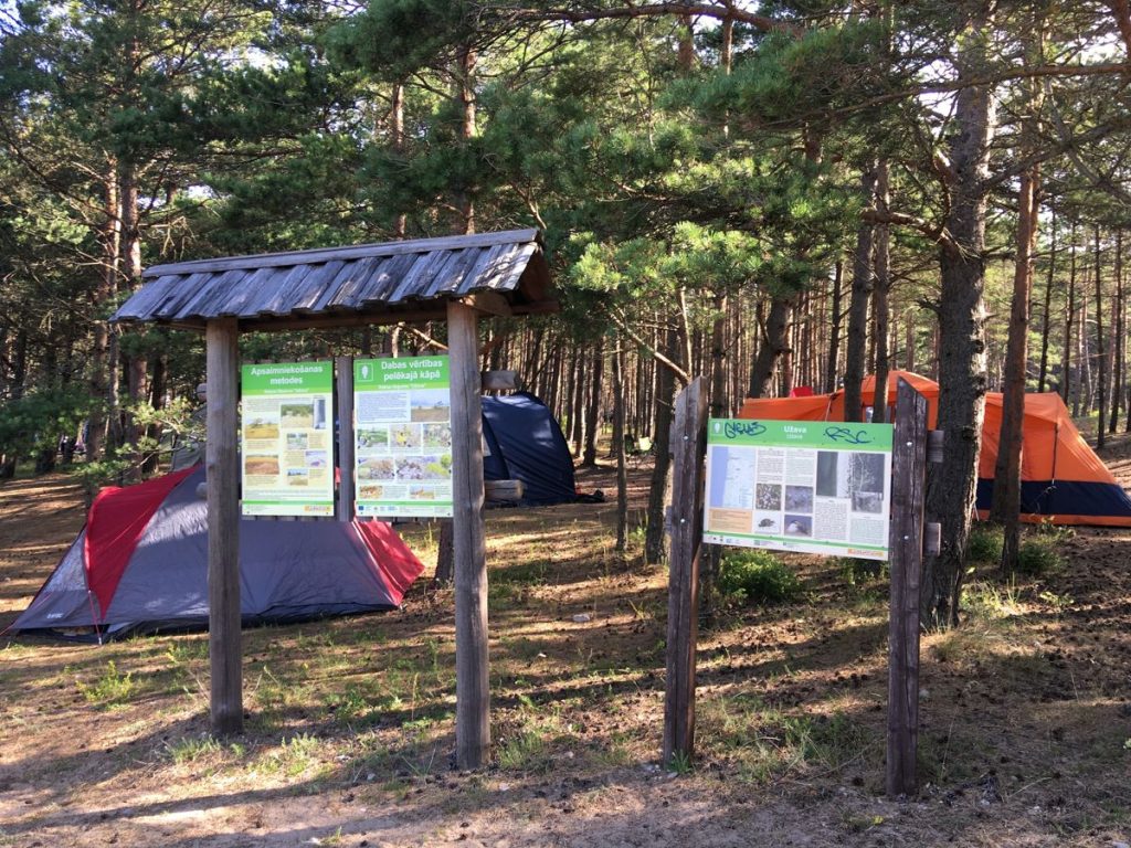
Location: Nature Reserve Užava, Ventspils County Municipality
Starting point of the trail in the map: Lat:57.24728, Lon:21.41551
Accessibility: ![]()
![]()

![]()
Hiking time: 20 min (out and back)
Distance: 0,5 km (out and back)
Marking: Not marked, but can easily follow the trail
Type: Out&back
Difficulty: ![]()
Trail surface: Wooden boardwalk (width 1,2 m) with exchange areas
Facilities: 
![]()
![]()
![]()
![]()
![]()

Getting there: with a car
Rules to follow: 

Trail administrator: Užava Parish Council, T: +371 28371752, E-mail: uzava@ventspilsnd.lv
Info: Ventspils Tourism Information Centre, 6 Dārzu Street (Ventspils Ferry Passenger Terminal, 1st Floor), T: +371 29232226, tourism@ventspils.lv, www.visitventspils.com
Closest shops and gas stations: Užava, Ventspils